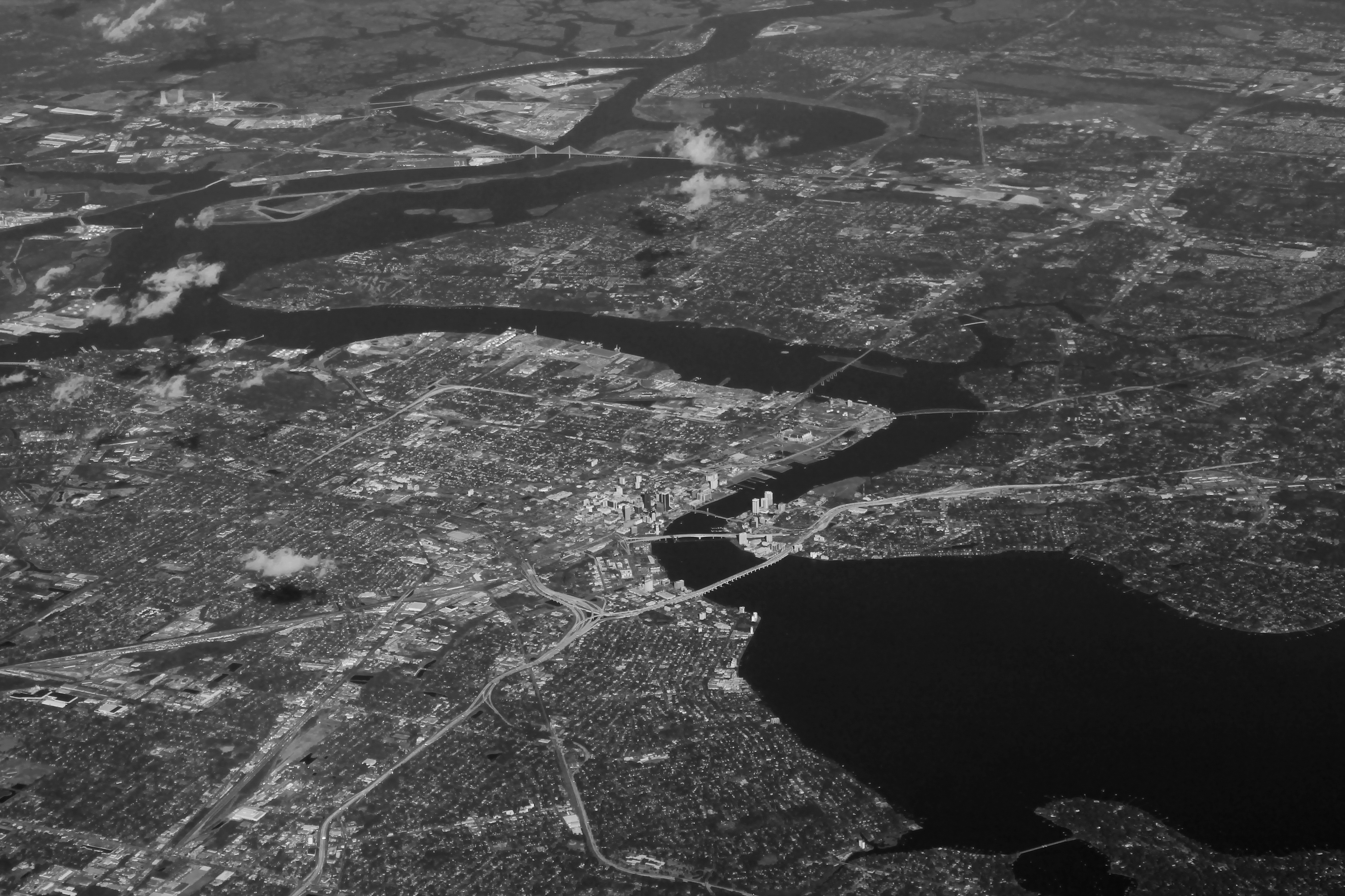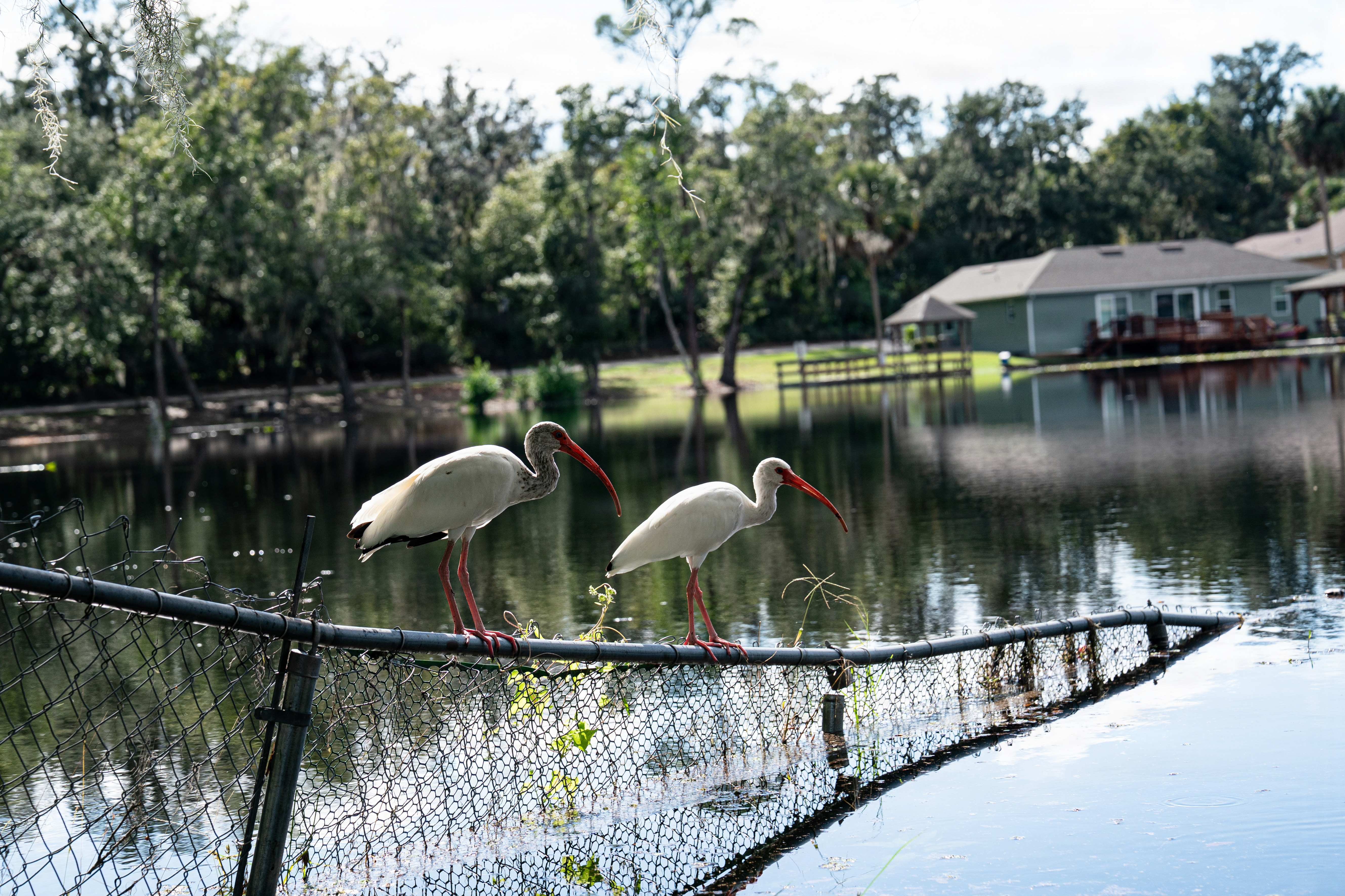
Low-lying neighborhoods along the St. Johns River face another round of flooding Friday, Oct. 9, as elevated tides persist and Hurricane Isaias threatens to bring additional rain to Northeast Florida.
A Coastal Flood Warning covering the St. Johns River basin expired Thursday afternoon, Oct. 8, but a Coastal Flood Advisory remains in effect until 2 p.m. Saturday, Oct. 10, according to the National Weather Service.
The advisory follows several days of heavy rainfall and unusually high tides that have increased the risk of flooded roads and properties in Mandarin and other waterfront communities.
The Jacksonville Emergency Preparedness Division warned that saturated ground and additional rainfall could cause flooding to develop quickly.
Elevated tides threaten St. Johns River neighborhoods
The earlier Coastal Flood Warning covered the St. Johns River basin from downtown Jacksonville south to Lake George.
High tides peaked 1.70 to 2.20 feet above normal along the coast before elevated water levels moved into the St. Johns River, News4Jax reported.
The city of Jacksonville announced that the warning would transition to an advisory Thursday evening, with elevated water levels remaining a concern through Saturday afternoon.
Potential impacts include flooding of low-lying roads, homes and businesses, along with shoreline erosion.
Residents near the river and its tributaries should monitor conditions during high tide, particularly where roads have flooded during previous storms.
Hurricane Isaias brings additional rain threat
Isaias strengthened into a hurricane Thursday as it moved toward the northern Gulf Coast.
The National Hurricane Center reported maximum sustained winds of 105 mph in its late Thursday advisory, with the hurricane expected to approach the Gulf Coast on Friday.
Earlier forecasts placed the potential landfall area near the Mississippi-Alabama coastline, Action News Jax reported.
Although the hurricane's center is expected to remain well west of Jacksonville, tropical moisture could bring periods of heavy rain and thunderstorms to Northeast Florida Friday and Saturday.
Forecasters have also warned of a possible tornado threat associated with the system, WOKV reported.
Action News Jax meteorologist Mike Buresh reported that some Jacksonville-area locations received 4 to 13 inches of rain beginning Oct. 2.
With the ground already saturated, additional rainfall could worsen drainage problems and increase the risk of flash flooding.
JaxReady also warned that saturated soil can weaken tree stability, making trees and large limbs more vulnerable to falling during gusty winds.
Residents urged to avoid flooded roads
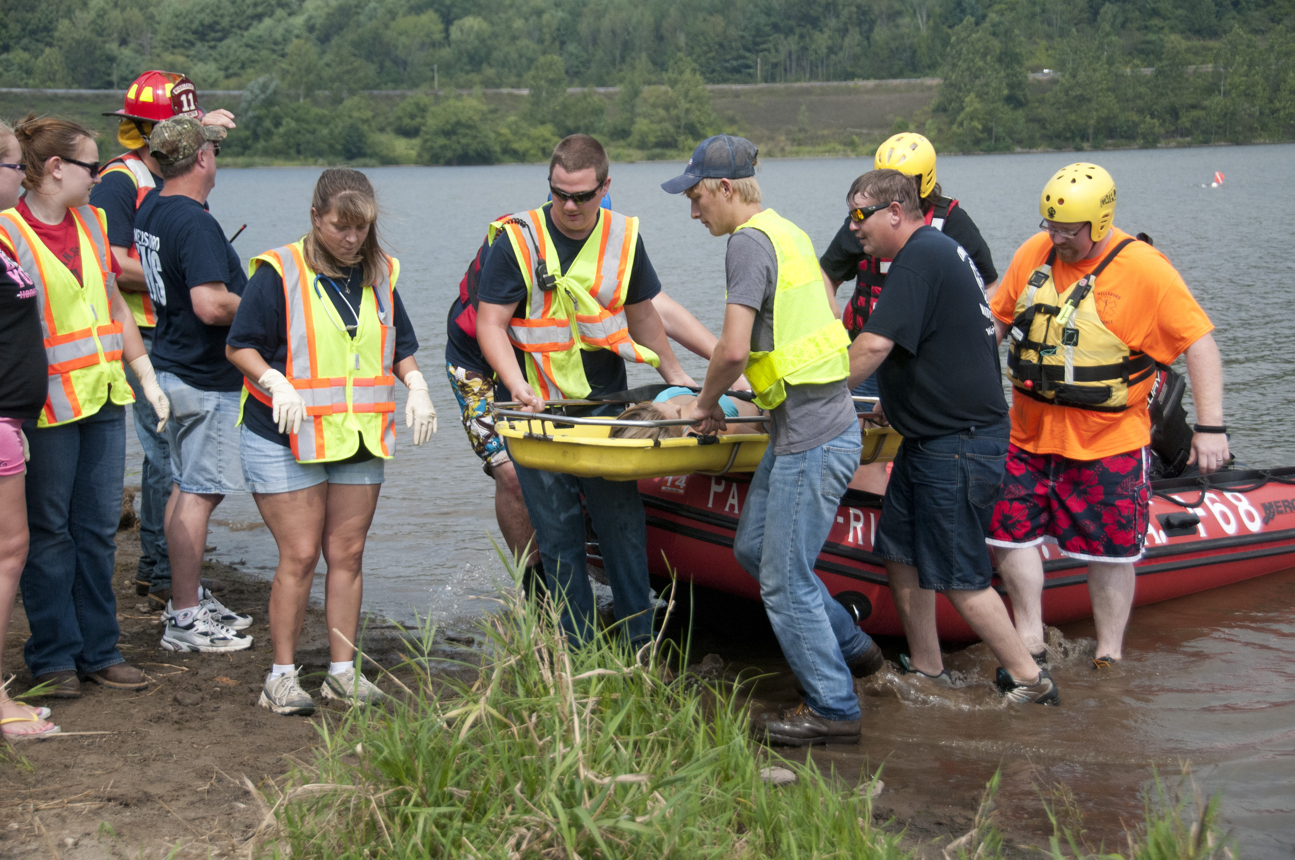
Jacksonville emergency officials advised residents not to drive through standing or moving water.
As little as 6 inches of moving water can knock a person off their feet, while 12 inches can carry away a vehicle, according to JaxReady.
Residents should also watch for leaning trees, cracked trunks, exposed roots and soil lifting around tree bases.
As previously reported by the Mandarin Beacon, Gov. Ron DeSantis declared a state of emergency for 25 Florida counties ahead of Isaias. Duval County was not included in that declaration.
Residents can register for free AlertJax emergency notifications at JaxReady.com/ALERTJAX or through the Everbridge mobile app.