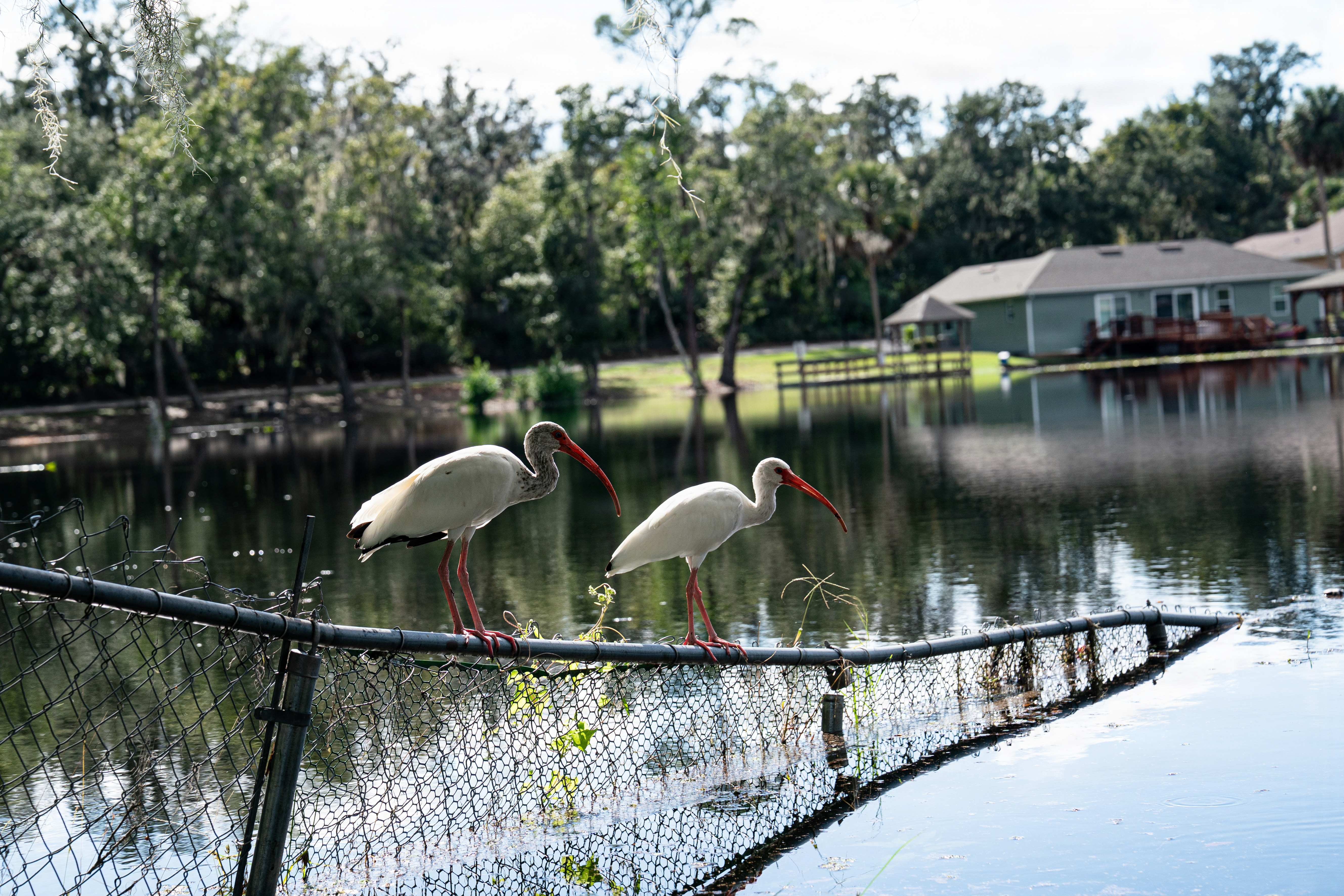

Mandarin residents already contending with nor'easter flooding along the St. Johns River now face a second weather threat as Tropical Storm Isaias churns toward the northern Gulf Coast.
Gov. Ron DeSantis signed Executive Order 26-202 on Tuesday, Oct. 6, declaring a state of emergency for 25 Florida counties in preparation for the storm, which strengthened from Tropical Depression Nine to Tropical Storm Isaias by Wednesday morning. Forecasters projected a possible landfall between eastern Louisiana and the western Florida Panhandle by Friday night or Saturday morning, First Coast News reported.
Duval County is not among the 25 counties named in the order. But the governor's office warned that heavy rainfall, strong winds, coastal flooding and isolated tornadoes are possible across North Florida, even far from the landfall zone. Additional rain would fall on ground already saturated by the nor'easter.
"Floridians should take this time to get disaster plans in place and ensure their hurricane supply kit is stocked," DeSantis said Tuesday.
What the emergency order does
The order covers Baker, Bay, Calhoun, Columbia, Dixie, Escambia, Franklin, Gadsden, Gilchrist, Gulf, Hamilton, Holmes, Jackson, Jefferson, Lafayette, Leon, Liberty, Madison, Okaloosa, Santa Rosa, Suwannee, Taylor, Walton, Wakulla and Washington counties. Most sit along the Panhandle and Big Bend, though Baker and Columbia extend the coverage into Northeast Florida.
The Florida State Emergency Response Team (SERT) began staging resources in Tallahassee and the Santa Rosa area for rapid deployment, News4Jax reported. Staged assets include generators, fuel, flood barriers, boxed water pallets, shelf-stable meals, tarps, Tiger Dams and sandbags.
Mandarin already dealing with flooding
The National Weather Service in Jacksonville issued a flood watch through Wednesday morning for portions of Northeast Florida, including South Central Duval and Western Duval, zones that cover the Mandarin area. An additional 2 to 4 inches of rain was expected on top of what had already fallen.
A coastal flood advisory for the St. Johns River Basin remained in effect until 5 a.m. Thursday, Oct. 8, for minor flooding around high tides. Tides were running 1.5 to 2.5 feet above normal, and winds were forecast to gust from 30 to 40 mph on Wednesday.
Action News Jax meteorologist Mike Buresh noted that nor'easter conditions could worsen over the weekend depending on Isaias' track and intensity.
Storm forecast still uncertain
Forecasters projected Isaias could reach Category 2 intensity over open water, though the strength at landfall remained uncertain. The likeliest track as of Tuesday evening placed landfall somewhere between Destin and New Orleans.
The National Hurricane Center warned Tuesday on X of increasing risk of dangerous wind and storm surge along the northern Gulf Coast. No evacuations have been ordered.
Tropical storm-force winds and 4 to 8 inches of rain were possible from Panama City to New Orleans. Areas east of the landfall point, including the Panhandle and potentially North Florida, faced an elevated tornado risk, according to the Jacksonville.com forecast.
What Mandarin residents should do
No evacuation orders, shelter openings or Emergency Operations Center activations had been announced for Duval County as of Wednesday, Oct. 7. Residents can visit FloridaDisaster.org for storm preparation information and follow @FLSERT on X for updates.