Jacksonville's Craig Airport recorded more than 16 inches of rain in just 10 days, surpassing a previous October rainfall mark of 11.73 inches set in 2007, according to News4Jax.
The rainfall total, measured at the airport in Jacksonville's Arlington area, exceeded the previous mark by more than 4 inches, News4Jax chief meteorologist Richard Nunn reported Monday, Oct. 12.
Nunn said the last comparable rainfall event occurred during Tropical Storm Debby in 2012.
The unusually wet start to October followed successive weather systems that brought heavy rainfall, flooded roads and elevated water levels across Northeast Florida.
A nor'easter soaked the region before Hurricane Isaias made landfall near Destin in the Florida Panhandle on Friday, Oct. 9, as a Category 2 hurricane with sustained winds of 105 mph, according to The Weather Channel.
Isaias did not make landfall near Jacksonville, but the region experienced additional rainfall during the broader period of unsettled weather.
The National Weather Service in Jacksonville reported Sunday, Oct. 11, that Duval County had received some of the region's heaviest rainfall over the preceding five days, with totals ranging from 4 inches to nearly 16 inches.
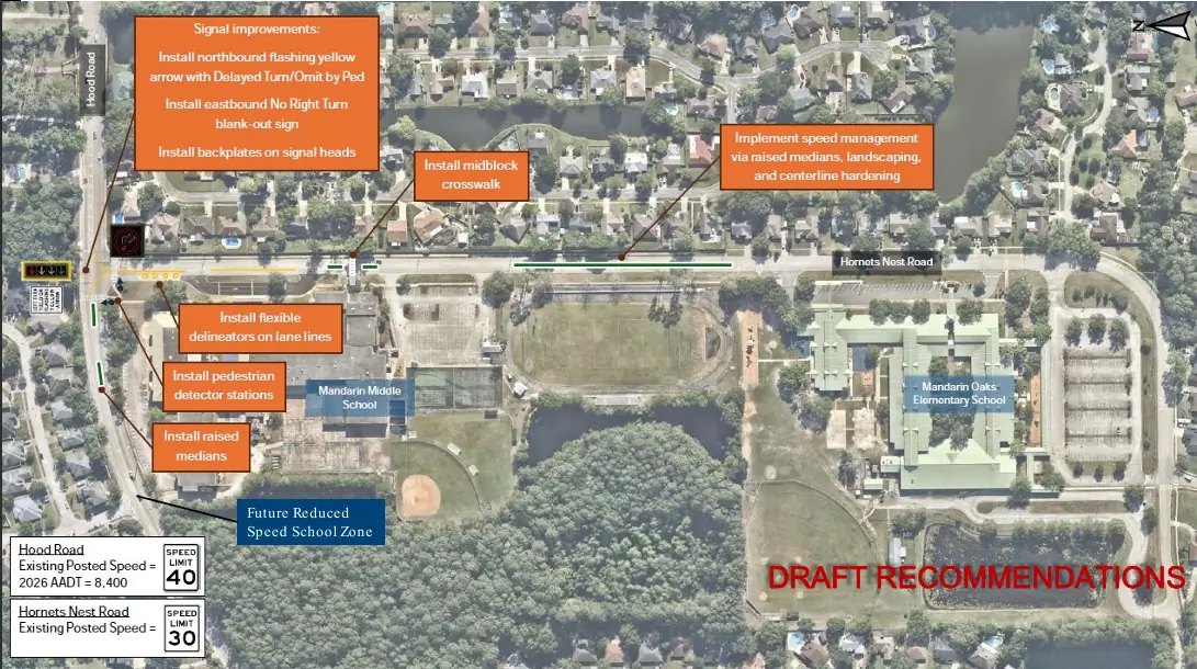
Heavy rainfall raises flooding concerns near Mandarin
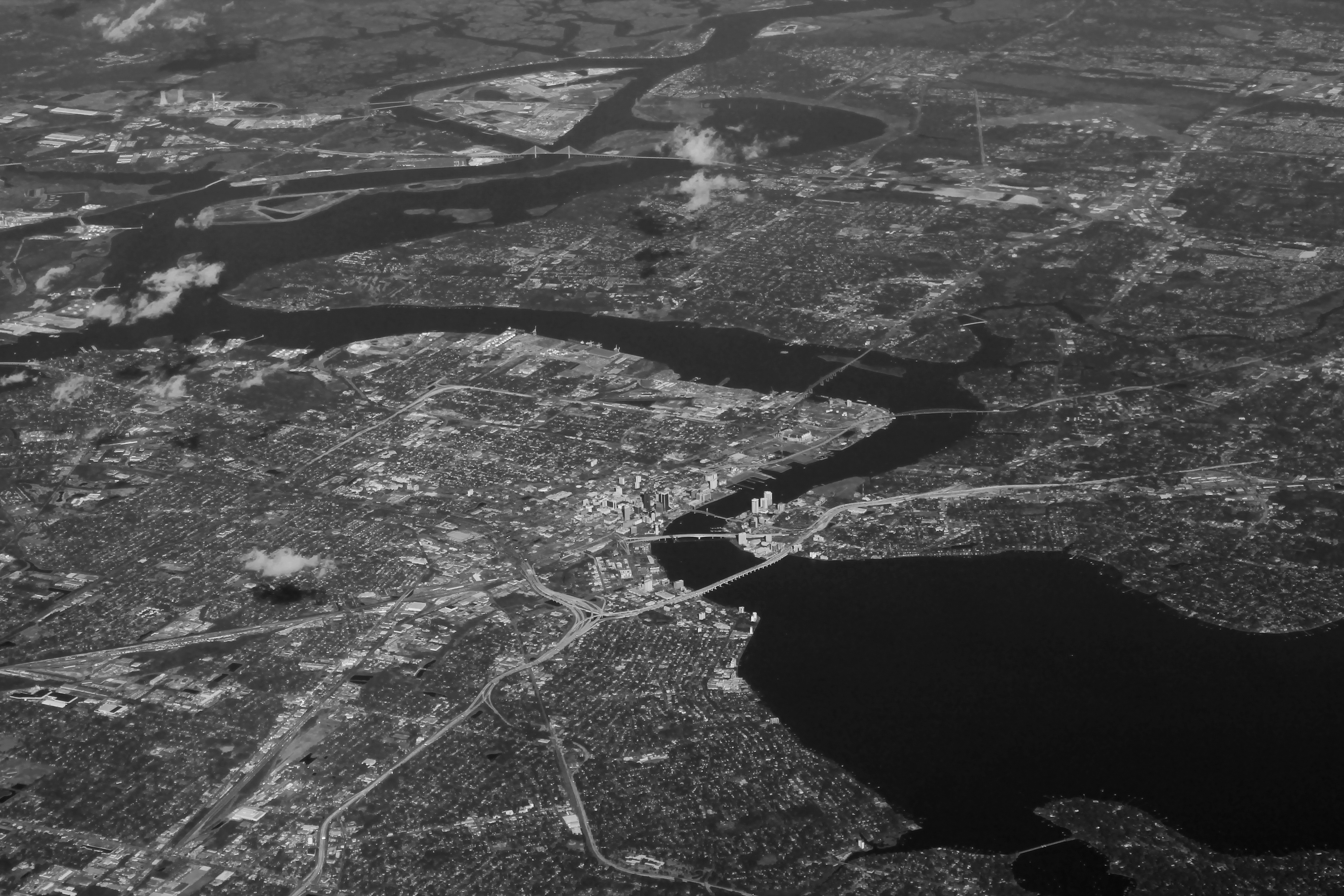
The prolonged rainfall saturated the ground and contributed to flooding concerns across Jacksonville, including low-lying areas near the St. Johns River.
News4Jax reported that minor tidal flooding remained possible along the river through Tuesday afternoon, Oct. 13.
Persistent onshore winds, elevated tides and high river levels complicated drainage as the region experienced repeated periods of rain.
The Florida Times-Union reported that tidal flooding along the St. Johns River was expected to persist because of strong onshore winds and unusually high tides.
Earlier in the week, the National Weather Service recorded rainfall totals reaching approximately 11 inches near Mayport over 72 hours.
Another 8 inches fell near Phillips Highway and Sunbeam Road, a corridor in South Jacksonville north of Mandarin, according to News4Jax.
Duval County Emergency Preparedness Division Director Andre Ayoub warned that areas with histories of flooding, including San Marco and Riverside, could experience additional problems if rainfall persisted.
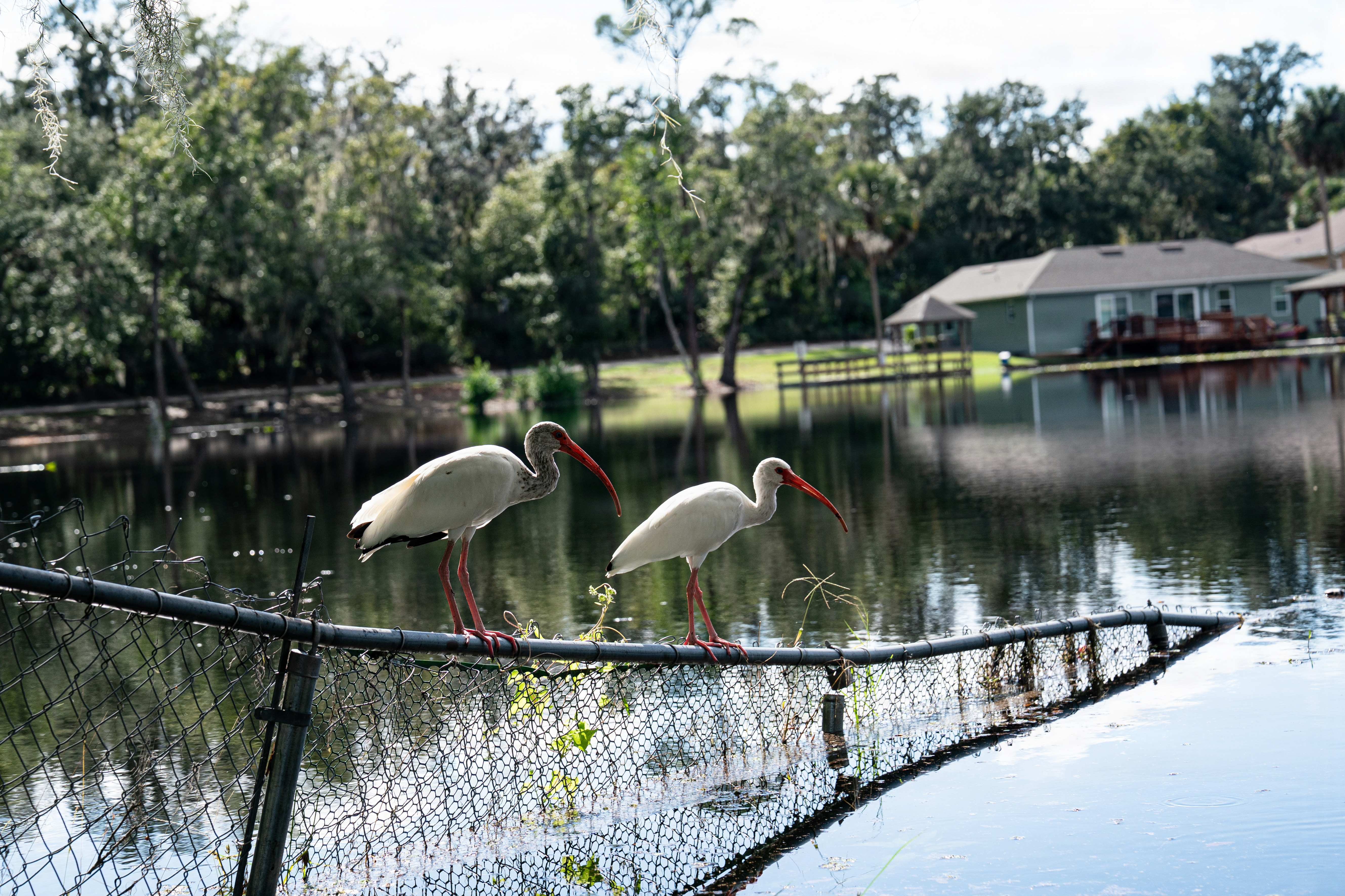
The combination of saturated ground and high tides increased the potential for standing water in low-lying neighborhoods.
Flooding closes downtown roads
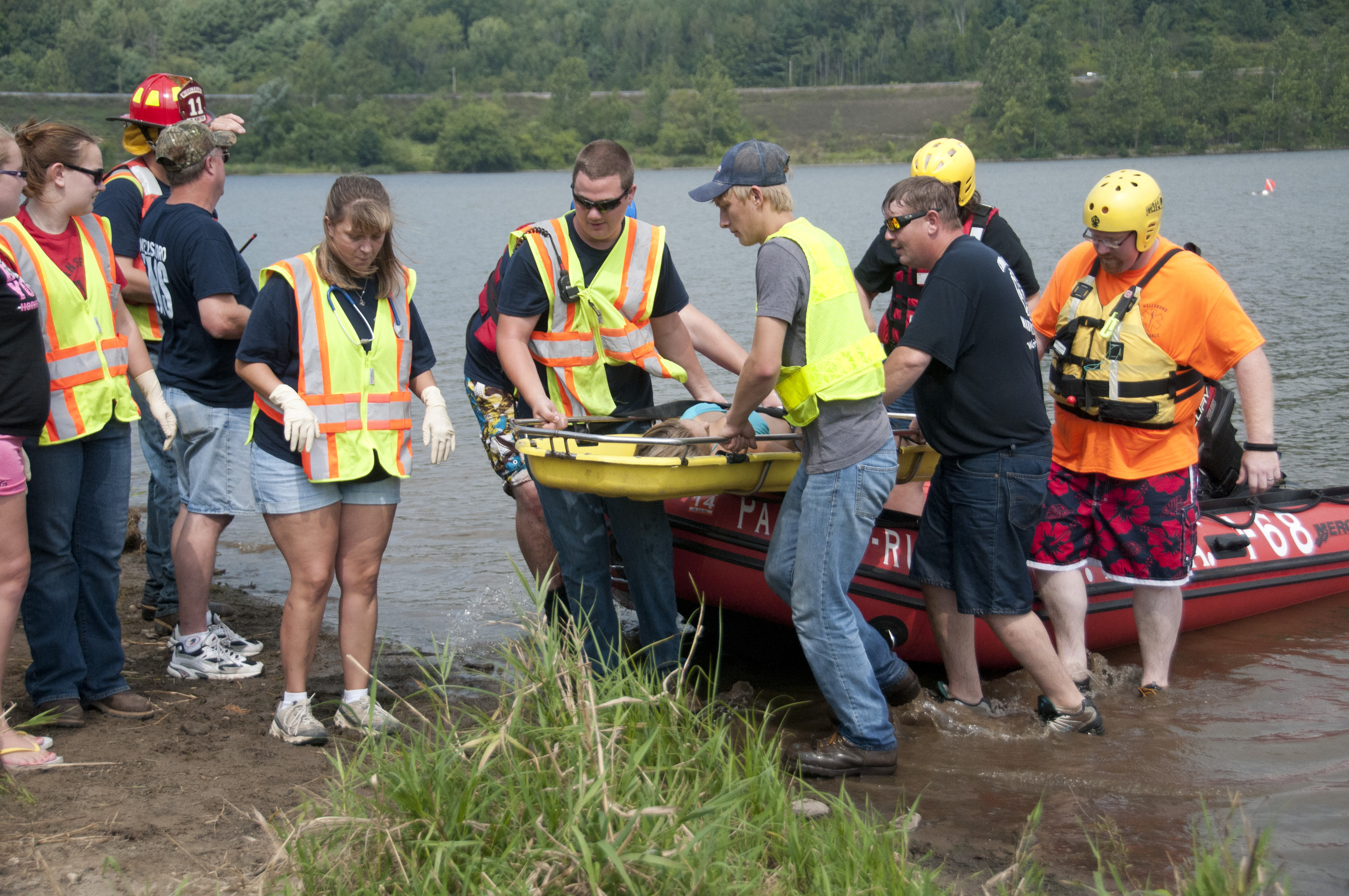
Flooding disrupted traffic in parts of downtown Jacksonville on Friday, Oct. 9.
Market Street was closed between Phelps and Orange streets, and a Jacksonville Sheriff's Office officer helped push a stranded vehicle out of floodwater, News4Jax reported.
Drivers were forced to find alternate routes around flooded streets.
Jacksonville resident Bob Killgore urged motorists to avoid driving through standing water.
"For people who are in small cars, I'd use caution and probably try to drive around, find another alternative route," Killgore told News4Jax.
The flooding followed days of persistent rainfall that overwhelmed drainage systems in some low-lying areas.
Drier weather gives way to cooler, windy conditions
Following the record rainfall, Jacksonville experienced a stretch of drier weather during the week of Oct. 12.
Nunn's forecast called for mostly sunny to partly cloudy skies through Friday, Oct. 16, with morning lows generally in the 60s and afternoon highs in the 80s.
A cold front was expected to approach Northeast Florida over the weekend of Oct. 17-18, bringing cooler temperatures and stronger northeast winds.
The forecast called for temperatures to drop approximately 8 to 10 degrees behind the front.
Coastal winds were expected to reach 20 to 25 mph, with gusts of 30 to 40 mph. Isolated to scattered showers, potentially accompanied by thunderstorms, were also possible.
The combination of stronger onshore winds and elevated tides could renew coastal and tidal flooding concerns in vulnerable areas.
Residents near the St. Johns River and other flood-prone locations should monitor updated National Weather Service forecasts and advisories as conditions change.