Gusty winds, downpours and dangerous rip currents are heading for the Jacksonville area, including Mandarin, as an upper-level low drifts across Florida.
The system is not a hurricane or tropical storm.
WUFT meteorologist Andrew Wulfeck reported Wednesday, Sept. 16, that a dip in the jet stream could allow the upper-atmosphere storm to break away and drift southwestward across the state. Upper-level lows draw energy from cold air aloft rather than warm ocean water, making them structurally different from tropical systems.
The impacts, though, could feel tropical. Wulfeck wrote that wind gusts could reach 30 to 40 mph and "at times, feel like a ... nor'easter or even a weak tropical system." The system will also push colder air over Florida, increasing instability and raising the chance of lightning and hail in stronger storm cells.
Forecast models show the heaviest rainfall south of the Interstate 4 corridor, where 2 to 4 inches are possible, according to WUFT. Wulfeck noted that everyone in Florida should see at least a downpour or two through the weekend.
The National Hurricane Center may flag the disturbed weather for a low potential of tropical organization, according to WUFT, but development would be slow because of the system's interaction with land. Wulfeck reported there is not a direct tropical threat for Florida.
Breezy, warm days expected through the weekend
The National Weather Service in Jacksonville forecasts a high near 87 degrees Thursday, Sept. 17, with breezy northeast winds gusting to 24 mph and a slight chance of showers between 8 and 11 a.m. Friday, Sept. 18, brings a high near 89, breezy northeast gusts to 22 mph and a slight chance of afternoon thunderstorms. By Saturday, Sept. 19, the chance of showers and thunderstorms climbs to 30% after 11 a.m., with east winds gusting to 20 mph.
Rip currents keep beaches dangerous through Friday
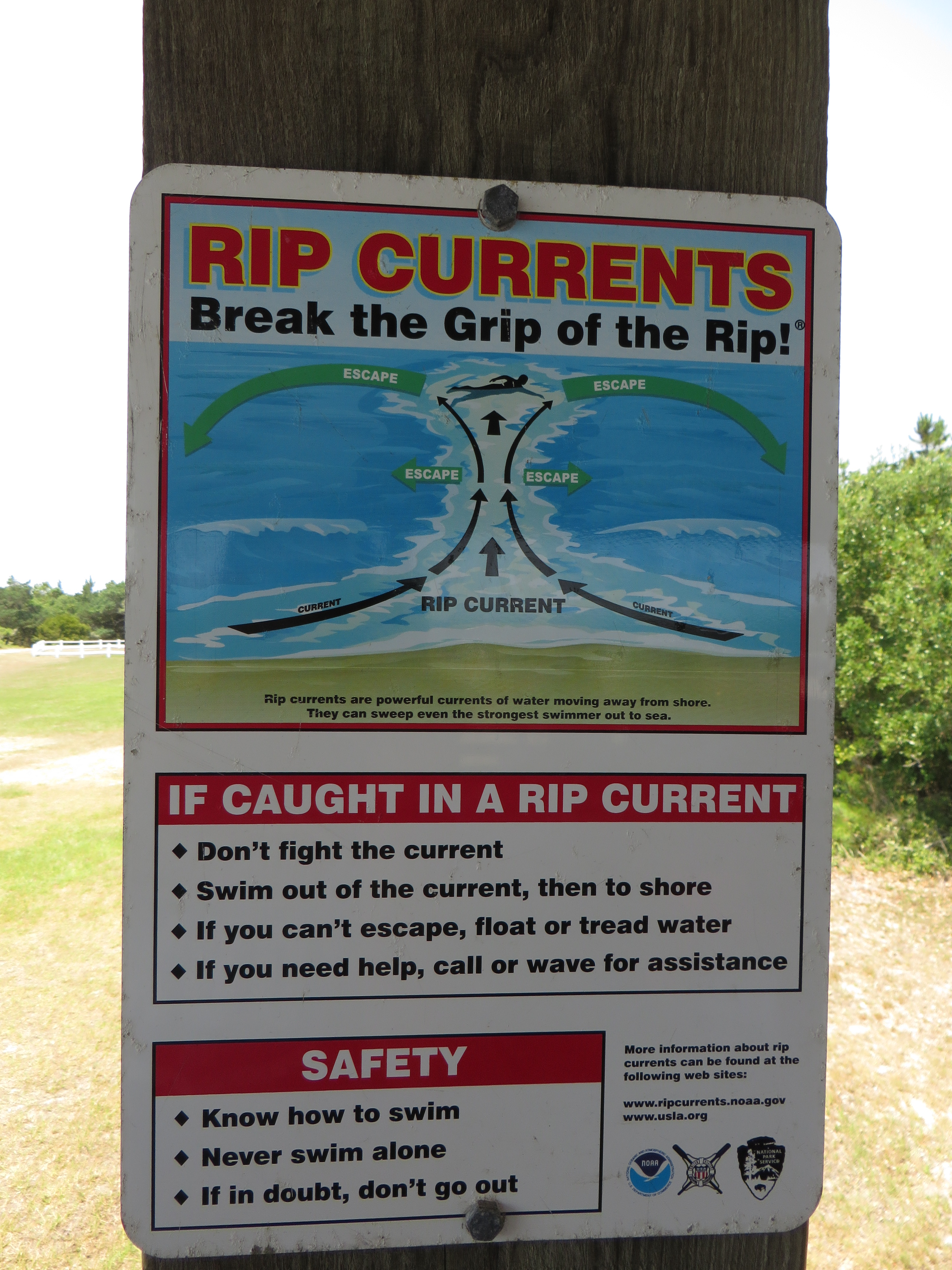
The storm system has made area beaches dangerous. NWS Jacksonville warned on X on Tuesday, Sept. 15, that surf would be dangerous for all levels of swimmers. A high rip current risk statement remained in effect Thursday for coastal Duval, Nassau, St. Johns, Flagler, Glynn and Camden counties through 5 a.m. Friday, Sept. 18.
Tides are running higher than normal, according to WUFT, but the absence of a king tide should limit coastal flooding and significant beach erosion. The weather service advises beachgoers to swim near a lifeguard. Anyone caught in a rip current should float and avoid swimming against it.
No end date set for unsettled weather pattern
No specific end date for the system's unsettled weather pattern has been announced. Residents can monitor conditions at the NWS Jacksonville forecast page.
.jpg)